12 RAMPART RD
Owner Information
HUBER SALLY S
12 RAMPART RD
YARMOUTH PORT, MA 02675 1121


Property Details
12 RAMPART RD is classified as a Single Family Residential (Cape cod).
The primary structure on this property was built in 1966. There are 4384ft2 of built area within this property. There is 1696ft2 of residential/living space within this property.
12 RAMPART RD is valued at 607900. The land is valued at 276300 and the structures are valued at 329100. There is an additional valuation of 2500 on this property.
The most recent deed for 12 RAMPART RD is recorded at the local registrar in Book 7847, Page 102. 12 RAMPART RD was last sold on 1992-01-24 for 0.
Assessment data from fiscal year 2022.
Flood Data
According to the FEMA National Flood Hazard Layer, this property does not appear to be in a flood zone. It may also be in an area not yet reviewed. Nonetheless, confirm this information prior to taking any action.
To view the flood hazards around this property, create a FEMA "Firmette" Map of the area around 12 RAMPART RD.
Broadband Internet Providers
| Provider | Type | Bandwidth (mbps) | |
|---|---|---|---|
| GCI Communication Corp. | Satellite | 0 | 0 |
| HughesNet | Satellite | 25 | 3 |
| VSAT Systems, LLC. | Satellite | 2 | 1 |
| T-Mobile | Fixed Wireless | 25 | 3 |
| Comcast | Cable | 1000 | 35 |
| Verizon New England Inc. | DSL | 15 | 1 |
| Viasat Inc | Satellite | 35 | 3 |
Broadband service provider data from December 2020.
Adjacent Properties
- 15 EAGLE LOOP
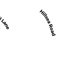
Undevelopable Residential Land owned by HUBER SALLY S - 14 HILLSEA RD
Single Family Residential owned by HARTY BRIAN - 71 WHARF LN
Single Family Residential owned by PETERSEN JON C - 19 EAGLE LOOP
Undevelopable Residential Land owned by REEVE JOHN G - 79 WHARF LN
Single Family Residential owned by REEVE JOHN G